Hello friend,
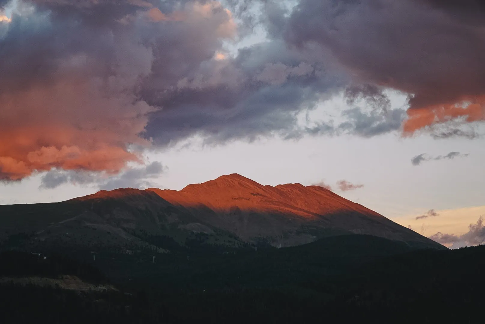
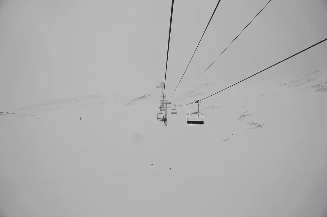
Welcome to the Wedgewood Lodge, slope-side, next to Snowflake Lift. Snowflake is a one-of-a-kind two-person lift that has a mid-load station and 70-degree turn to put you at Peak 8. It’s personally one of my favorite lifts of all time especially when snow is quietly falling, blanketing the landscape in Colorado’s legendary white powder.
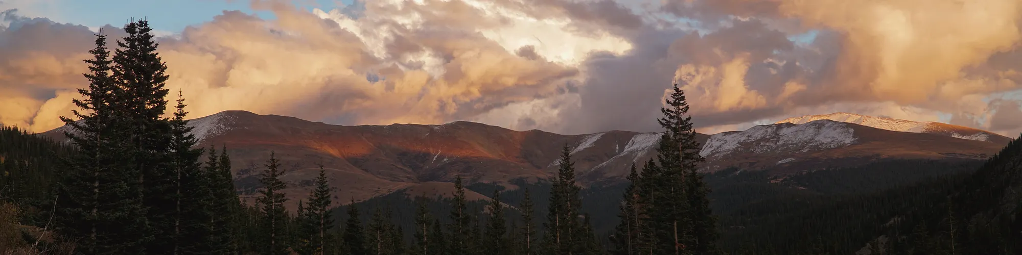
We’re extremely stoked that you have chosen Breckenridge, and even more so that you’re staying with us. We pride ourselves in being a long-standing boutique experience, with studio spaces to three bedroom townhomes. We’re still family-owned and operated and specialize in group travel and weddings. Whether you’re here for the ski season or a summer getaway, we are only a few blocks from Main Street and just a stones throw from the slopes where you can ride and hike.
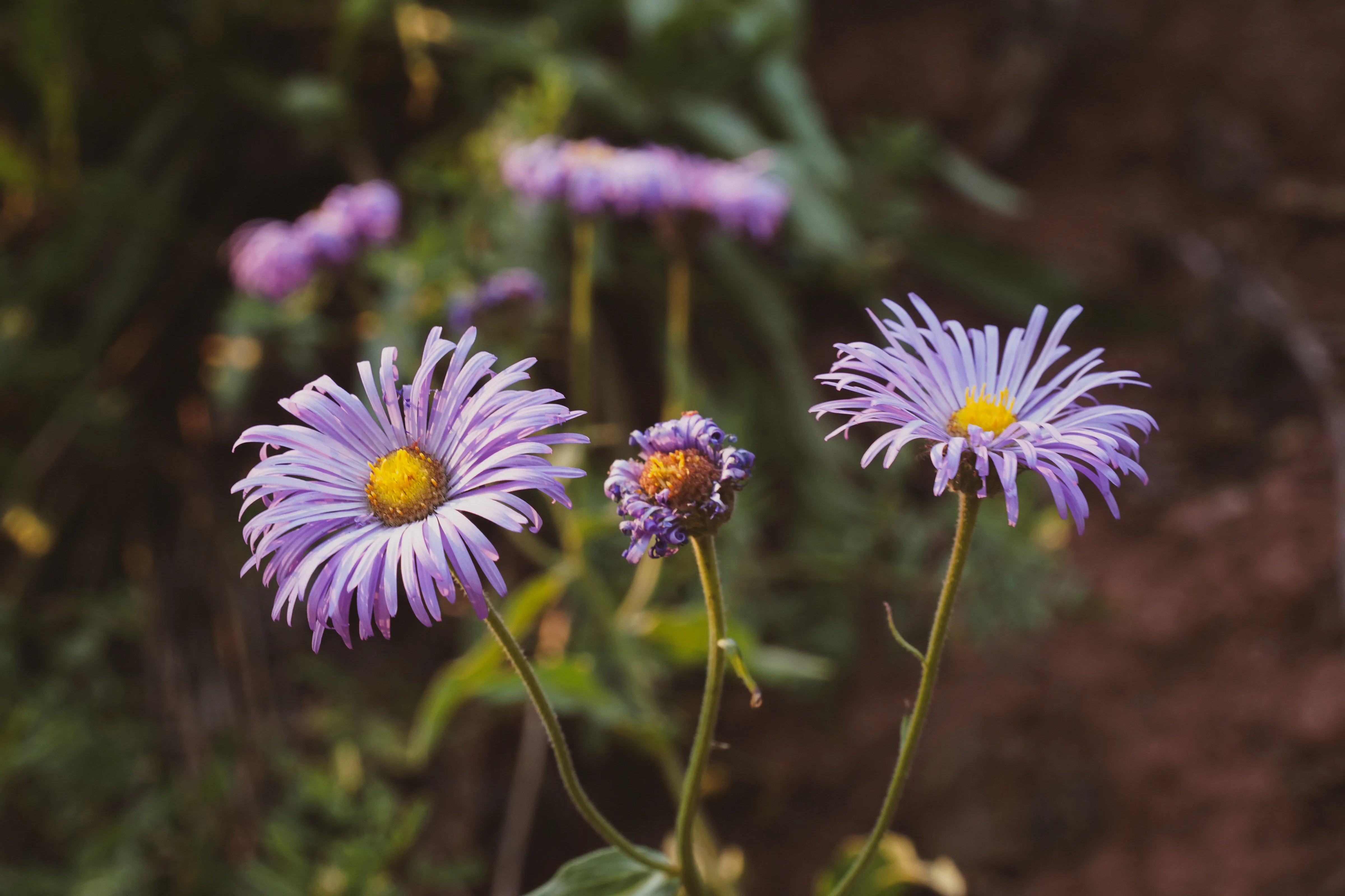
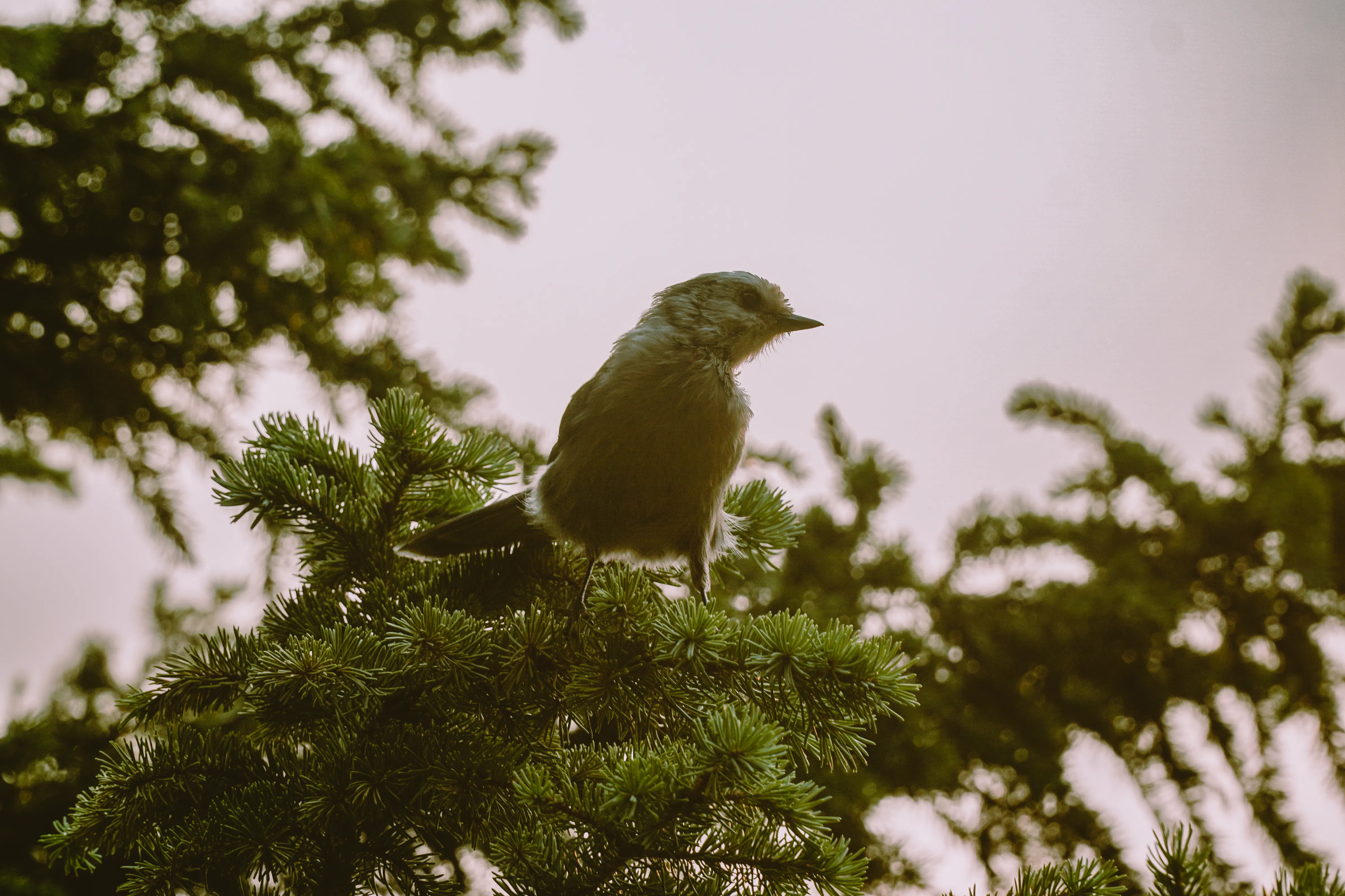
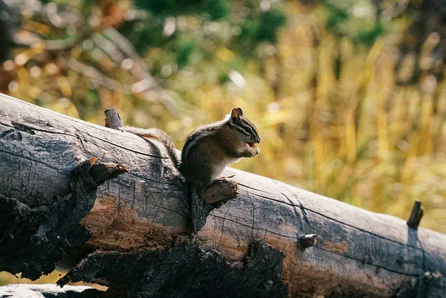
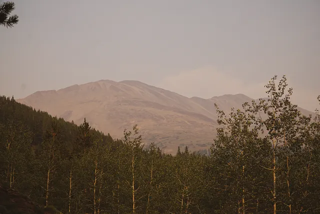
We renovated in 2023–2024 and within that renovation we decided to customize each and every space with unique historic photographs curated by me (Jules)! The artwork in your unit is unique to you and contains a piece of Breck’s history. In addition, you’ll see some of my own photographs sprinkled throughout the space. Each unit is also named after a run somewhere in Breck’s 3,000+ acres, with the story behind it explained below. Unfortunately, we only have 52 units, so a lot of runs were left unmentioned but we hope that you get to explore as much as you can. At Wedgewood, we love where we live and want to display how far the town has come. Thanks for coming, and enjoy your stay.
How to get to Pioneer.
Pioneer is a long blue run on Peak 7. You can get there via Independence SuperChair or from the T-Bar. It’s labelled as a family zone so there will be slow signs here and is a great learning area. If you want to get away from the family zones, choose any blue run nearby that does not have the yellow highlight. It’s unclear if there is historical significance to the naming of this run, but its possible that it was named after the fire company that originally existed during the mining days of Breckenridge: Pioneer Hook and Ladder Company, №1.
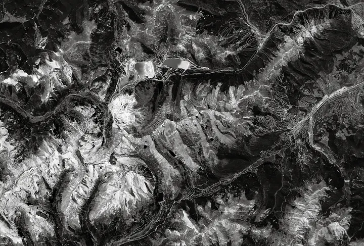
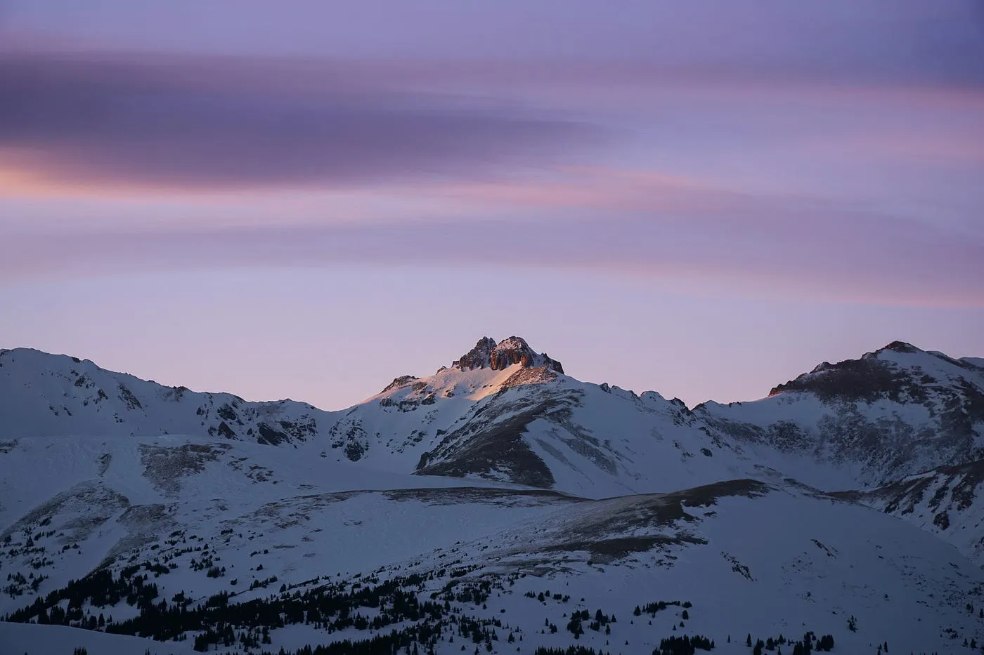
Fighting natures beast: avalanches.
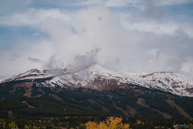
I think it’s extremely impressive that in the early days people figured out how to protect infrastructure from avalanches. These deadly slides still show scars on our mountains today, and methods to protect people such as snow sheds are still used all over the world. Theres a photo in this collection where you can recognize the mountain and the avalanche scar because the slide has happened multiple times — see if you can find it.
From top to bottom:
View from the interior of Snow sheds, looking towards South Park: View from the interior of the snow shed covering narrow gauge railroad tracks at Boreas Pass, looking south towards Park County, Colorado. Title quoted from handwritten caption on card mount: “View from the interior of Snow sheds, looking towards South Park. Original creator: Circa 1880s-1903 (Creation); Westerman, Otto. J. Frank Willis Photograph Album. Breckenridge History, Colorado.
Railway snow shed in Illinois Park near Breckenridge: Narrow gauge railroad and snow shed over the tracks at Hook Eye Curve in Illinois Park near Breckenridge, Colorado. Original creator: circa 1880s-1903 (Creation); Westerman, Otto. J. Frank Willis Photograph Album. Breckenridge History, Colorado.
Rotary snowplow and trains on Boreas Pass head for Breckenridge during the Big Snow of 1899: A convoy of train engines on snowy Boreas Pass head for Breckenridge, Colorado. Handwritten on the reverse: “Probably the relief train comi[ng] on top Boreas Pass heading for Breckenridge 1899 Original creator: 1899 (Creation); Unidentified. Agnes Miner Collection; Gift, Colorado Springs Ghost Town Club. Breckenridge History, Colorado.
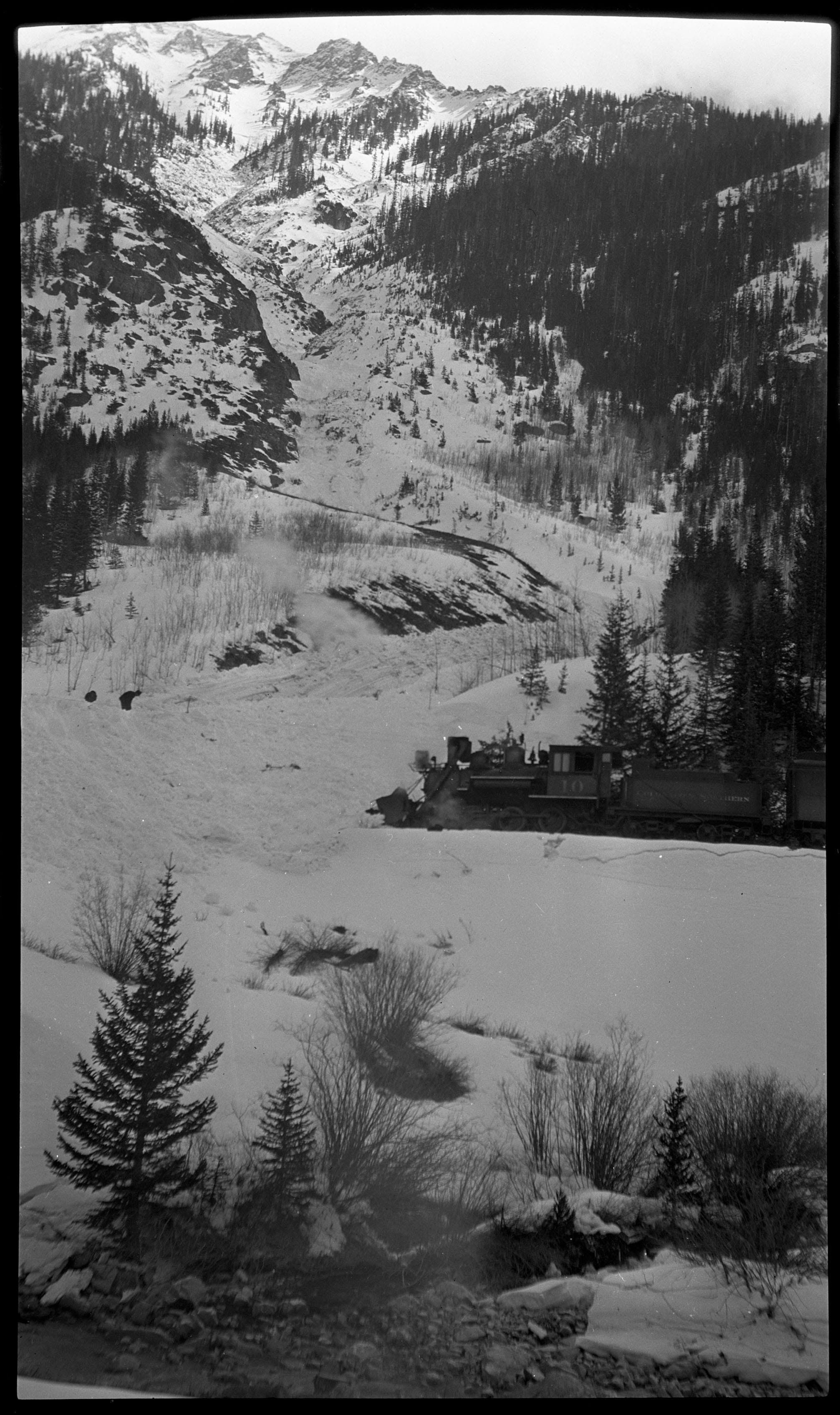
Colorado and Southern Railway blocked by snow slide, west side of Ten Mile Canyon: Colorado and Southern (C&S) Railway Engine №10 is blocked by a large snow slide covering the tracks on the west side of Tenmile Peak (Peak 2) in Ten Mile Canyon near Frisco, Colorado. One of the worst snow storms to hit Summit County in years began on December 12, 1922. Two snow slides occurred on December 15 near Curtain, one on the east side and another on the west side of the Curtain train station. Original creator: 1922 (Creation); Sayre, Robert H.. Robert H. Sayre Collection. Breckenridge History, Colorado.
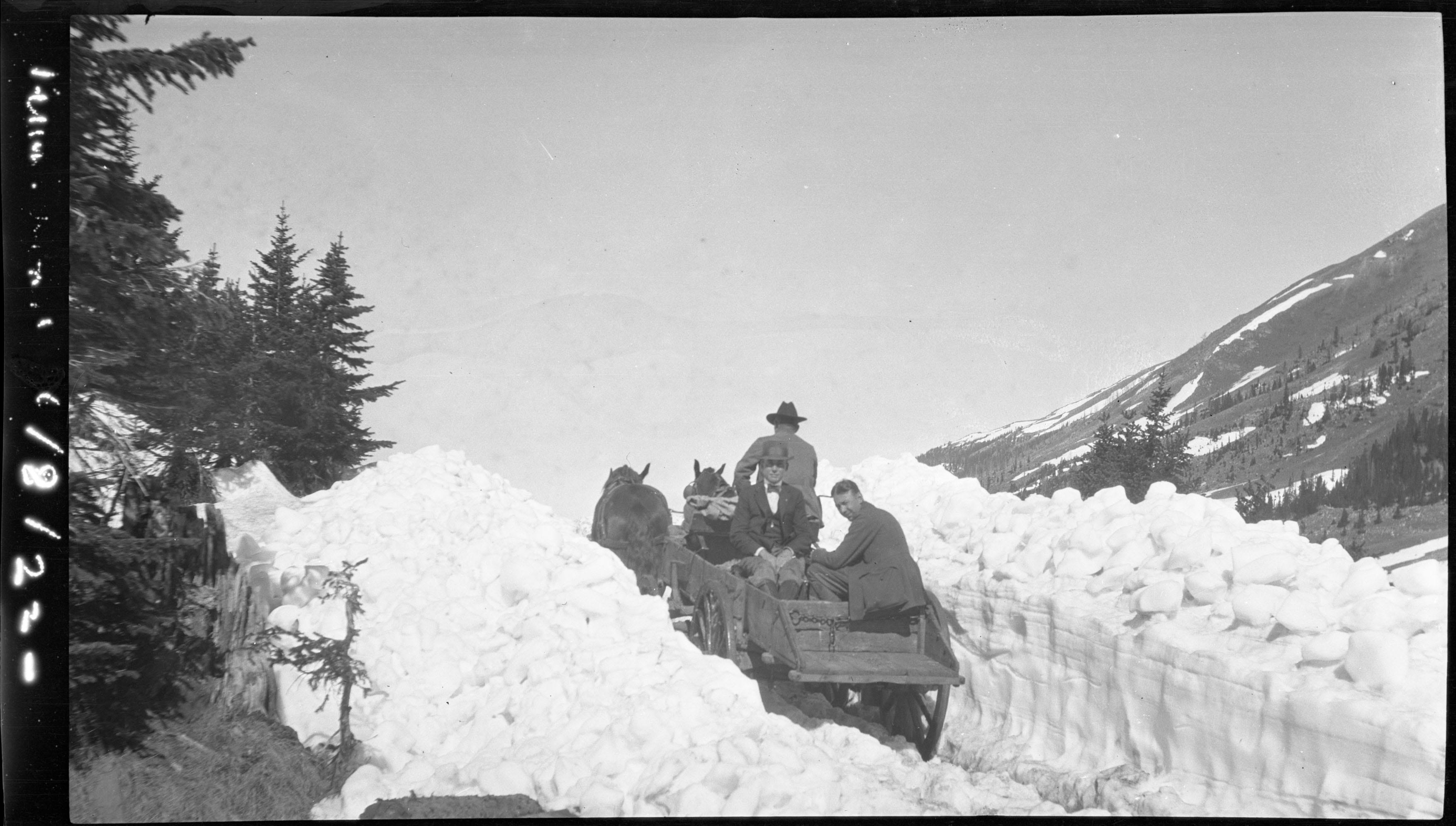
Men in a two-horse team wagon travel a road cleared through a snow slide, Ten Mile Canyon: Two formally-dressed men in a wagon pulled by two horses with a driver travel a narrow road that has been cleared in a snow slide. Probably taken in the Ten Mile Canyon, Colorado, near the Curtain train station where a snow slide occurred on December 15, 1922. Caption on right of photo has a date of 6/8/22, but that may not be correct as snow would have mostly melted by June. Original creator: 1922 (Creation); Sayre, Robert H.. Robert H. Sayre Collection. Breckenridge History, Colorado.
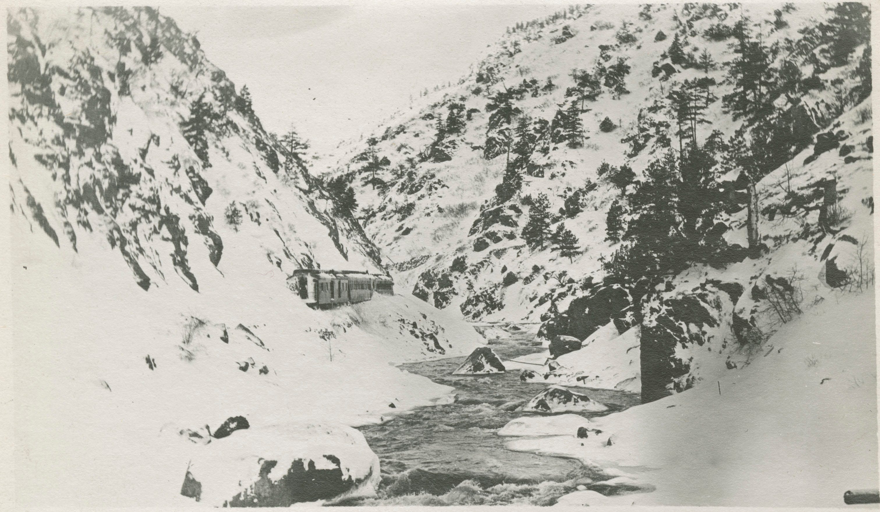
Railroad blocked by snow from an avalanche, in the Ten Mile Canyon near Frisco: Train stopped on its tracks blocked by snow from a snow slide or avalanche in the Ten Mile Canyon. The Ten Mile Creek runs through the canyon along the railroad bed. Handwritten on the reverse “Train from in [illegible] Saturday morning. There was a couple feet of snow over the top of the rear coach.” Original creator: Early 1900s (Creation); Unidentified. Agnes Miner Collection; Gift, Colorado Springs Ghost Town Club. Breckenridge History, Colorado.