Hello friend,
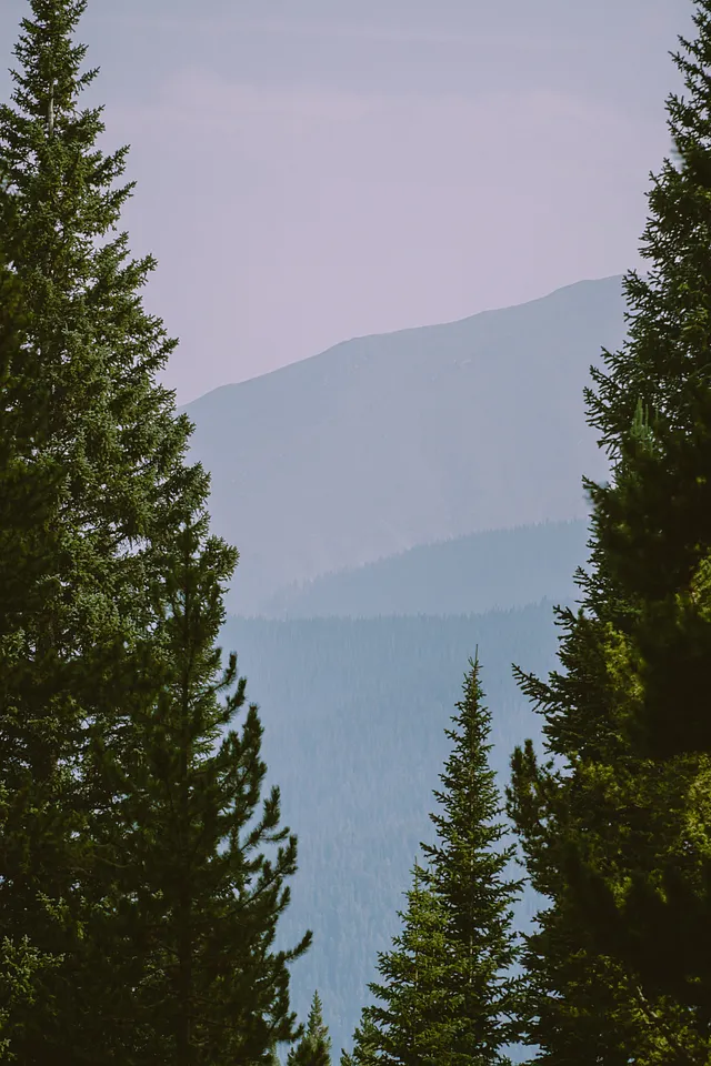
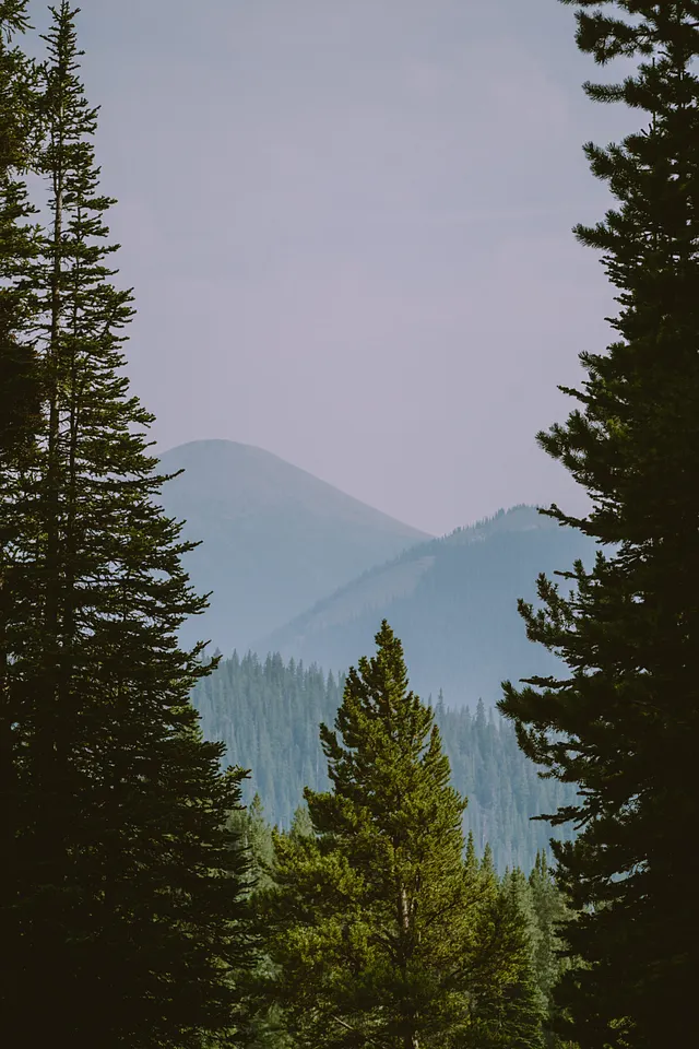
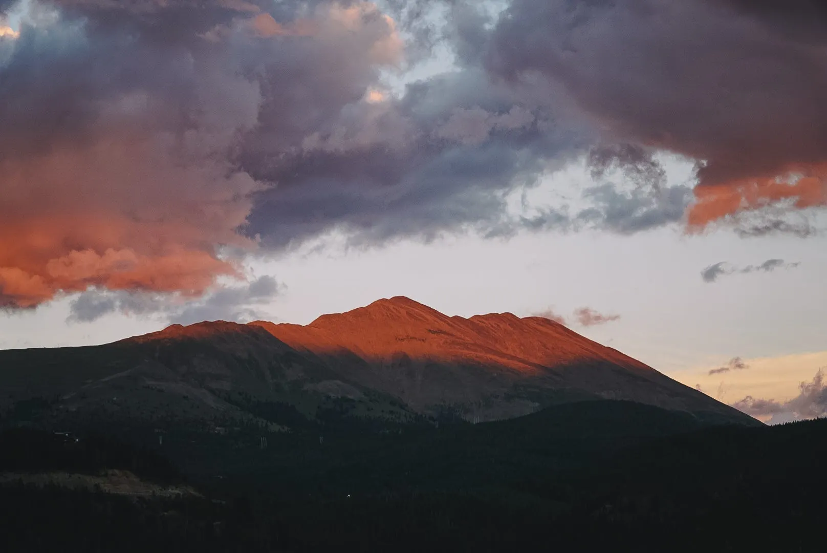
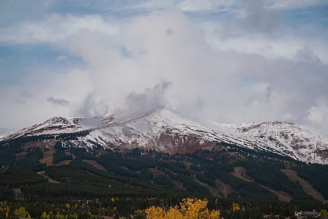
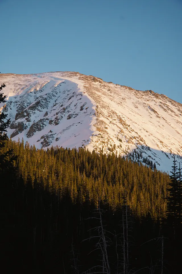
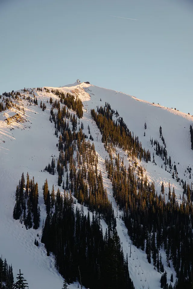
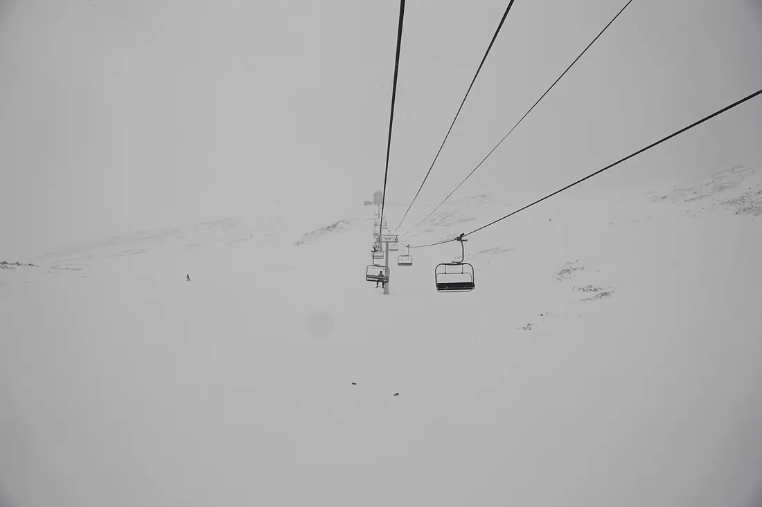
Welcome to the Wedgewood Lodge, slope-side, next to Snowflake Lift. Snowflake is a one-of-a-kind two-person lift that has a mid-load station and 70-degree turn to put you at Peak 8. It’s personally one of my favorite lifts of all time especially when snow is quietly falling, blanketing the landscape in Colorado’s legendary white powder.
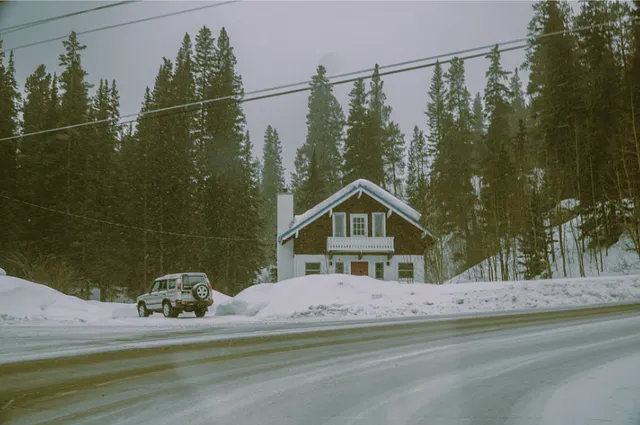
We’re extremely stoked that you have chosen Breckenridge, and even more so that you’re staying with us. We pride ourselves in being a long-standing boutique experience, with studio spaces to three bedroom townhomes. We’re still family-owned and operated and specialize in group travel and weddings. Whether you’re here for the ski season or a summer getaway, we are only a few blocks from Main Street and just a stones throw from the slopes where you can ride and hike.
We renovated in 2023–2024 and within that renovation we decided to customize each and every space with unique historic photographs curated by me (Jules)! The artwork in your unit is unique to you and contains a piece of Breck’s history. In addition, you’ll see some of my own photographs sprinkled throughout the space. Each unit is also named after a run somewhere in Breck’s 3,000+ acres, with the story behind it explained below. Unfortunately, we only have 52 units, so a lot of runs were left unmentioned but we hope that you get to explore as much as you can. At Wedgewood, we love where we live and want to display how far the town has come. Thanks for coming, and enjoy your stay.
How to get to Crosscut.
Crosscut is a blue run underneath Snowflake lift (which is in our backyard) that is important to note. If you want to go to the mid-load station, you have to look for the trail in the woods that is on lookers-left. If you want to continue to Peak 9, you go straight and keep your speed because it’s pretty flat and difficult for most people. I don’t think Crosscut is named after anything specific, but is more of a functional name. Right after you pass C-Chair, there is another run named Snowflake that is on lookers-left, that will take you straight home to the base of Snowflake Chair.
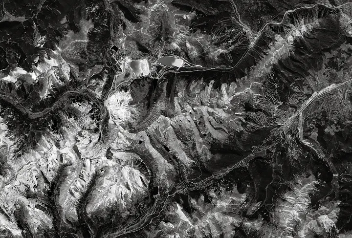
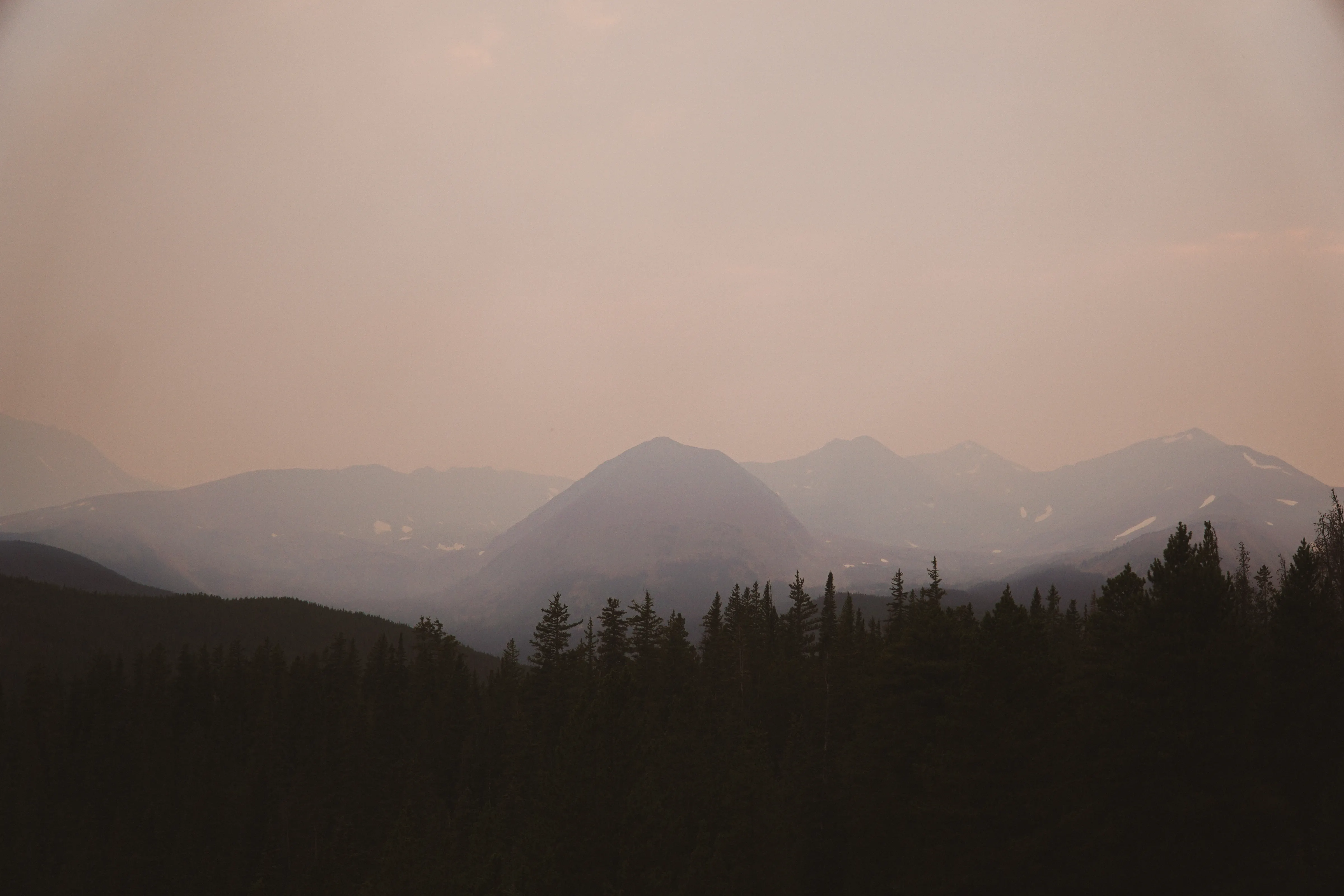
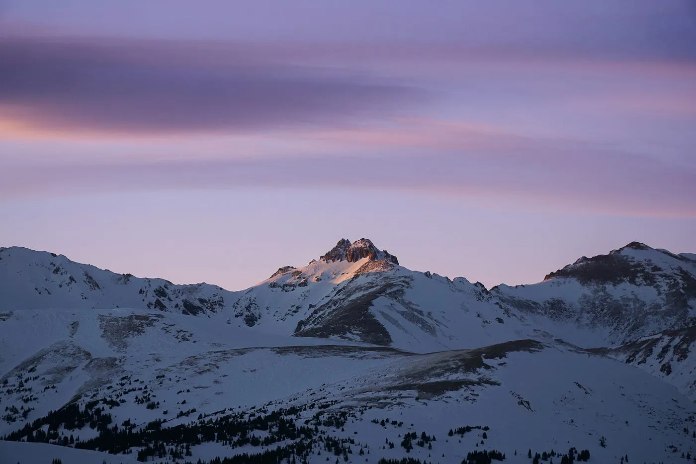
Loveland Pass.
Loveland Pass is kind of like the crosscut for Summit County. Before there was the Eisenhower Tunnel, there was Loveland Pass. Loveland Pass and the city of Loveland are named after William A.H. Loveland, the president of the Colorado Central Railroad. In 1869, Loveland opened a wagon road connecting Denver with Leadville, which became part of the U.S. Highway system in 1919 and served as the main route from Denver to Georgetown until the Eisenhower Tunnel opened in 1973. Located along the Continental Divide, about 70 miles east of Denver, Loveland Pass reaches an elevation of 11,991 feet and has a gnarly 6.7% grade. It serves as an alternate route for trucks carrying hazardous materials and offers scenic mountain views. While it remains open year-round, the pass can be dangerous in winter and may close temporarily during snowstorms. Please check with Colorado Department of Transportation before heading out into difficult weather.


Bus ride from Denver to Aspen, 1966: One b/w negative looking towards the summit of Loveland Pass (coming from the east side), 1966-. This was the route of I-70 at the time since Eisenhower Tunnel was not built until 1973. The photo was taken from inside of a bus that was transporting passengers from Denver to Aspen; they had become stranded in Denver when their flights were cancelled by inclement weather. Related images and a story are in the Aspen Illustrated News on January 5, 1967 (page 12). 35mm roll. Original creator: 1966; Hiser, Cherie Jenkins. Aspen Historical Society, Aspen Illustrated News Collection.
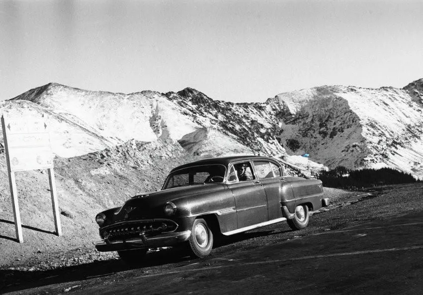
Car On U.S. Highway 6 (Loveland Pass), 1954: One b/w photograph and negative of a car driving on U.S. Highway 6 (Loveland Pass). There is a sign on the side of the road indicating the direction and mileage to Denver and Dillion. Original creator: 1954; Ringquist, Loey. Aspen Historical Society, Ringquist Collection.
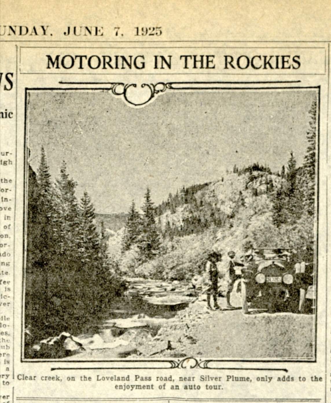
Motoring on the Rockies: Clear creek, on the Loveland Pass road, near Silver Plume, only adds to the enjoyment of an auto tour. Original creator: June 7, 1925; The Rocky Mountain News. Colorado Historic Newspaper Collection.
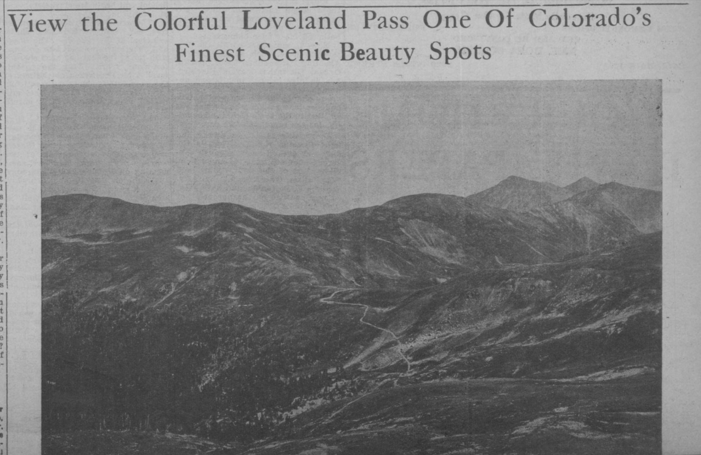
View the Colorful Loveland Pass One Of Colorado’s Finest Scenic Beauty Spots: View the Colorful Loveland Pass One Of Colorado’s Finest Scenic Beauty Spots. Original creator: December 10, 1938; The Denver Star. Colorado Historic Newspaper Collection.
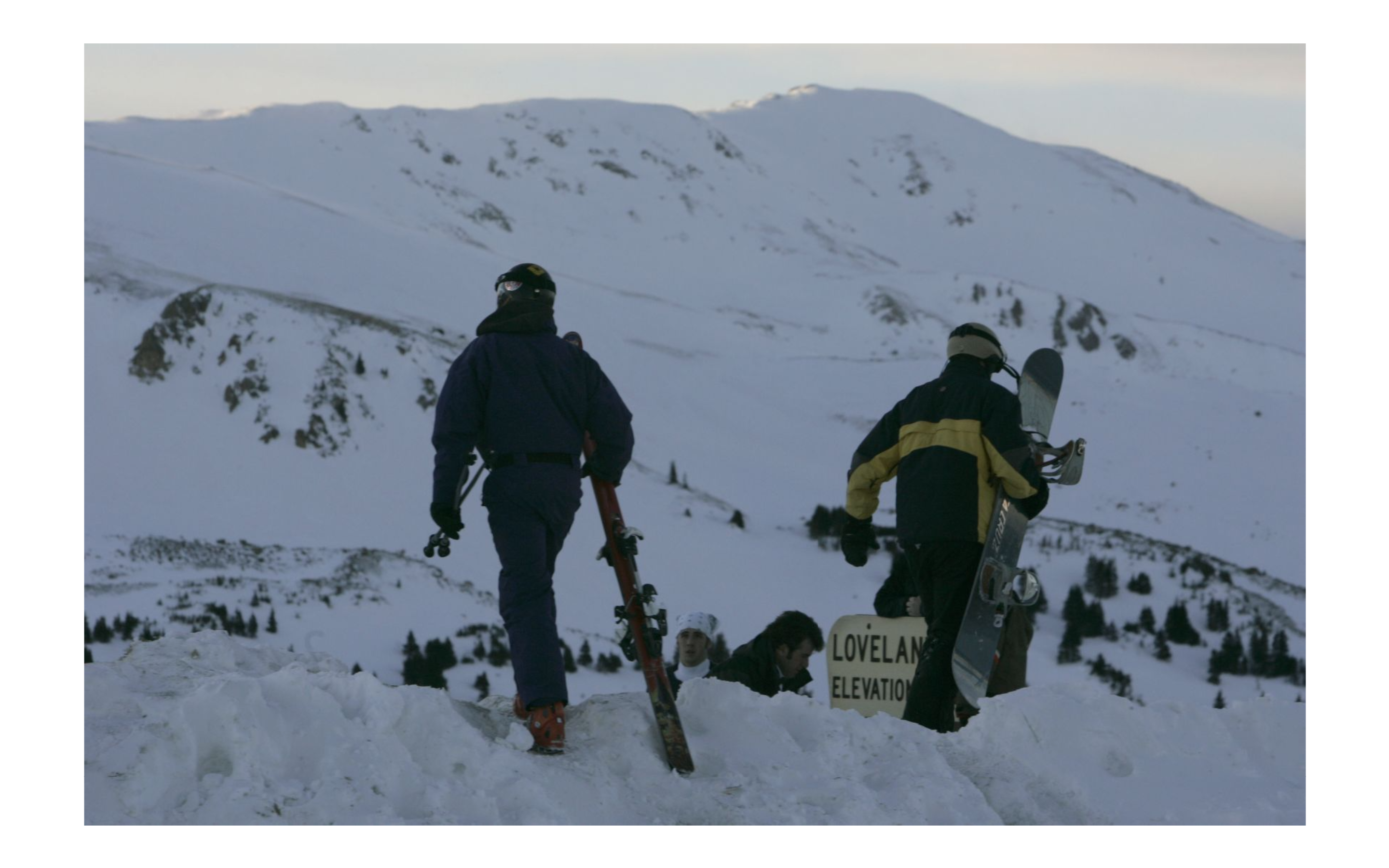
Snowboarders walk into the summit of Loveland Pass during the moonlight to back country ski at night January 3, 2007. Scores of skiers gather during the full moon for an experience that is unique to Colorado’s back country: Snowboarders are at the top of their game, having reached the summit of Loveland Pass. During the previous full moon Jan. 3, skiers could be found making tracks in new snow on or around Loveland Pass, Berthoud Pass, Quandary Peak and the Indian Peaks Wilderness Area. Original creator: 2007; DENNIS SCHROEDER. Donated to the Denver Public Library by the Rocky Mountain News, RMN-032–9070.
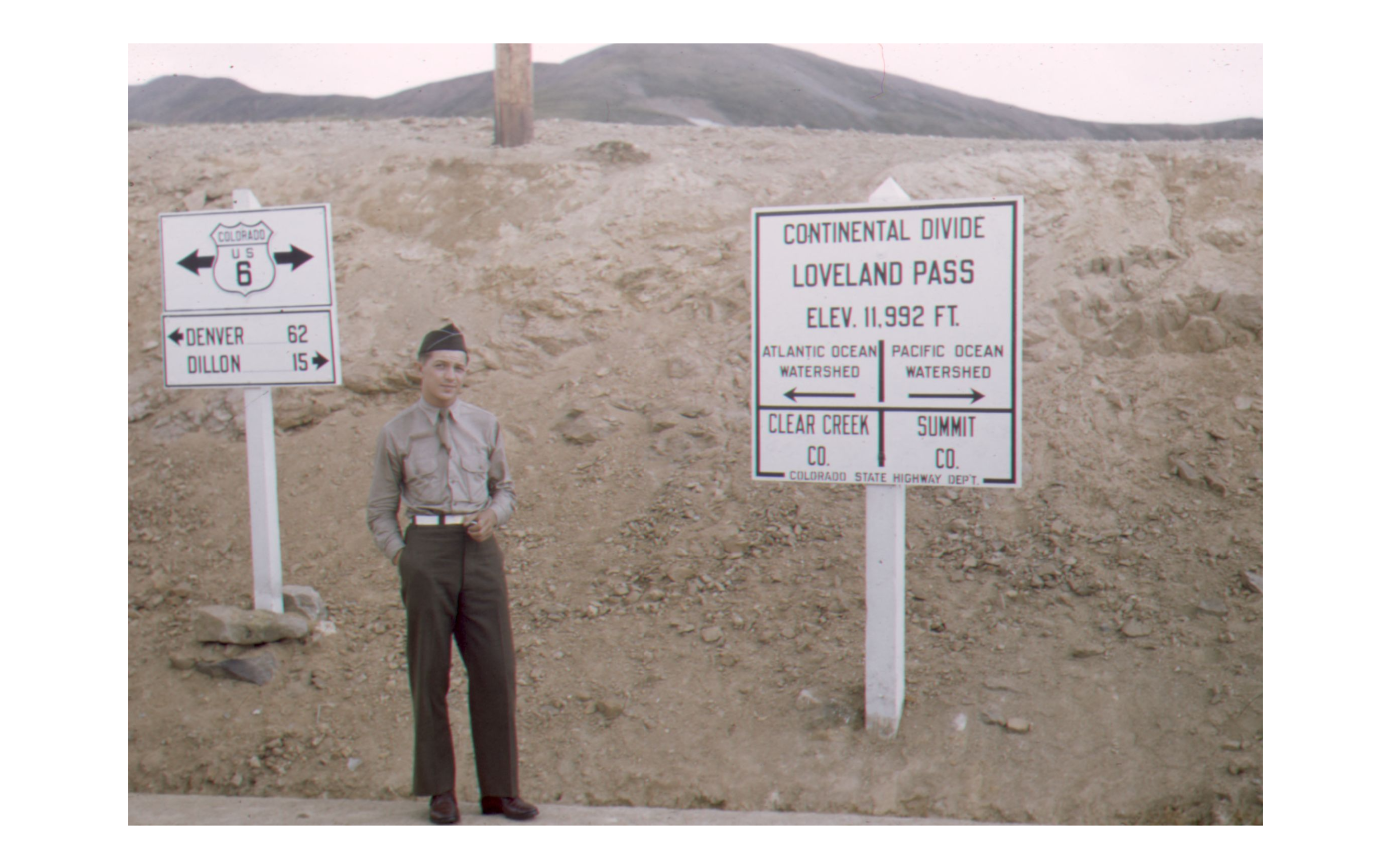
William A. “Bill” Southworth at the Continental Divide, Loveland Pass, Colorado: Tenth Mountain Division soldier, William A. “Bill” Southworth poses for a portrait at the Continental Divide. He is wearing a khaki uniform with a white belt, which was not army issue. The signs at the side of the highway identify the place: the first is Colorado, U.S. Highway 6. Denver 62 miles east, Dillon 15 miles west. A larger sign reads Continental Divide, Loveland Pass, elevation 11,992 feet above sea-level; Atlantic Ocean watershead to the east, Pacific Ocean; watershead to the west; Clear Creek County to the east, Summit County to the west. Original creator: [1943,1944]; Southworth, William A., 1921–2003. 10th Mountain Division Resource Center, Denver Public Library.